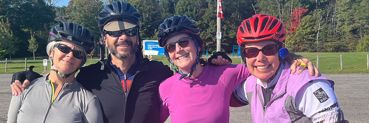

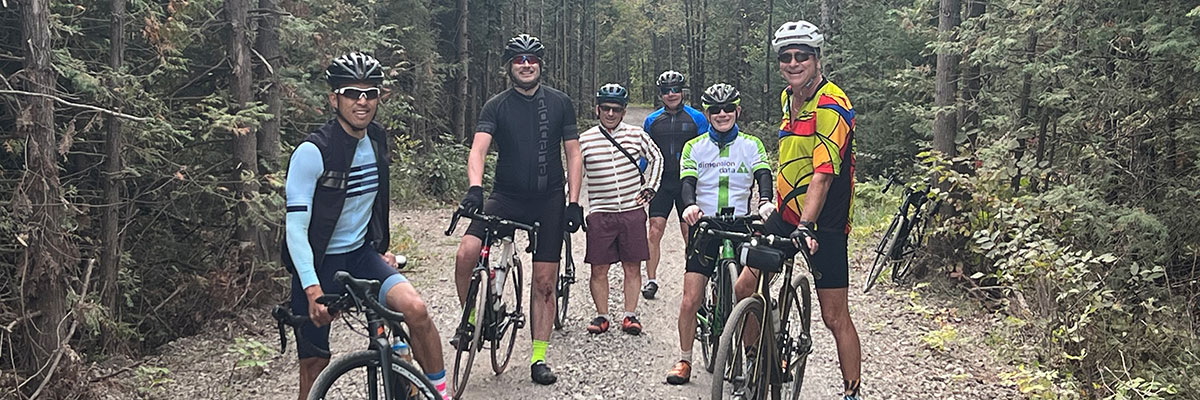

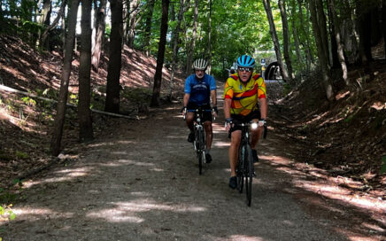
The July 1st Canada Day All Levels Ride & Epic Potluck Event
Just seven days away! There’s no better way to celebrate Canada Day than with good people, open roads, and great food. It’s our annual Canada Day All Levels Ride & Epic Potluck! Date: Wednesday, July 1, 2026 (Rain Date: Thursday the 2nd) Times: Ride starts at 10:00am (Out-and-back format—45 minutes each way) Potluck begins around […]
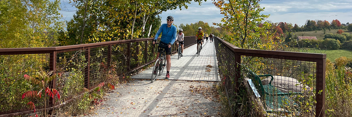
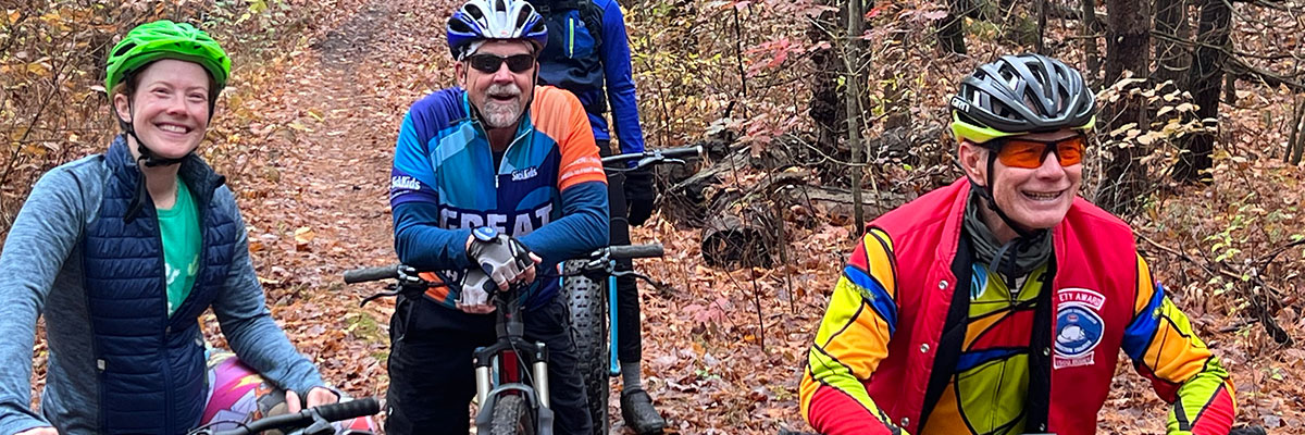
Planning Ahead—The Midland Riding Adventure in September
Hey NHCCers! The 3-night Midland Ride/Adventure is back after such a fantastic time was had last year. We’re putting together another great 3-night cycling getaway in beautiful Midland from Monday, September 14 to Thursday, September 17. Miche has developed cycling routes designed for all levels of riders, from shorter scenic rides to full-day adventures. […]
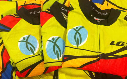
It’s the final day to order a Club Jersey online!
The end is near! Okay, so not the end-of-the-world sort of near, but the online-club-jersey-store-closing type of near. You have the end of today to get your order placed! Hey, a club jersey makes you look snazzy and you might actually ride faster (not scientifically proven yet). A note about fit: The new jerseys fit […]
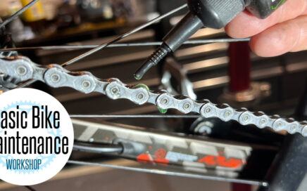
Bicycle Maintenance Workshop is tonight!
Tonight’s the night! It’s freezing cold outside, so what better excuse do you need to come talk bikes? Join us for our Basic Bicycle Maintenance Workshop tonight at 6:00 PM at the Baltimore Recreation Centre. We’ll have Randy, Paul, Jason, and Helmut all on hand to collaborate, answer questions, and help you level up your […]
Bicycle Maintenance Workshop: Monday May 11th, 6pm at the Baltimore Rec Centre
REMINDER: Just 7 more days The NHCC online store where you can purchase club jerseys Store closes on May 14th Get your order in today. $95 (+HST) Whether you’re new to cycling or just want to feel more confident handling basic bike issues, this hands-on workshop will cover essential maintenance skills every cyclist should know. […]
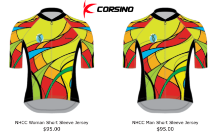
NHCC Online Jersey sales—store is open (until May 14th only)
Get them while you can! The online store closes on May 14th Our new club jerseys will be supplied by Corsino Custom Jerseys and will be available online only through a dedicated store. Members had the opportunity to try on samples at our Membership Night, and based on feedback, we’ve selected the semi-race fit (Elite) […]
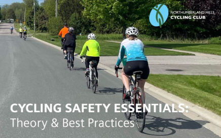
Cycling Safety Session: Monday May 4th, 6pm
This Monday is our Cycling Safety Essentials—Theory & Best Practices — it’s a compact 2-hour comprehensive information session designed to cover core cycling safety principles (no bike required). We don’t just talk about what to do, but we explore WHY. With a deeper understanding of traffic dynamics you’ll be safer and more confident. You’ll be […]
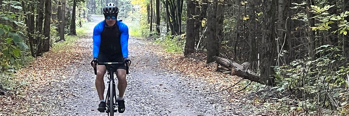
Prep Step: Get your Bike Ready
Holy chromoly, cycling season is here (almost!) The sun is shining. Your heart’s pumpin‘ anticipation for the 10am meetup. You find your shorts buried in the drawer (strange… they definitely shrunk). You’re ready for blastoff. You and your bike? Reunited at last. You’re groovin’. You might even show up early. Start Strava. Grab bike. …What […]